Core tip: Eighteen report, improvement of knowledge innovation system, strengthen basic research, research in frontier technology, social commonweal technology research, improve the level of scientific research and achievement change ability, to seize the commanding point of science and technology development strategy. The implementation of major national science and technology projects, major technical bottleneck breakthrough.
Editor's note: Eighteen report, improvement of knowledge innovation system, strengthen basic research, research in frontier technology, social commonweal technology research, improve the level of scientific research and achievement change ability, to seize the commanding point of science and technology development strategy. The implementation of major national science and technology projects, major technical bottleneck breakthrough.
China's satellite navigation project is divided into a test system, regional system, the global system " three paces go" development strategy. At present, the "Beidou " for the second step of the development goals, covering the area of Asia-Pacific area comprehensive system is available, the end of the year to civil users with satellite navigation services, completed in 2020 35 satellite network global satellite navigation and positioning system.
The development of satellite navigation and positioning system is expensive, if not pay attention to the civilian market development, will be a huge waste, will also affect the Beidou system development and technology progress.
The " Beidou " achieve global coverage will have more than 30 satellites in orbit, and its accuracy is not better than the low GPS.
In the function, the Beidou system position report, instruction transmission function is not GPS.
China has successfully launched the sixteenth Beidou navigation satellite into orbit, marking China's Beidou satellite navigation system in the Asia-Pacific region full coverage of the development goals, has been the realization of all system functions and indexes, which will be completed in 2020 35 satellite network of global navigation satellite system ( English abbreviate COMPASS).
China's satellite navigation project is divided into a test system, regional system, the global system " three paces go" development strategy. At present, the "Beidou " for the second step of the development goals, covering the area of Asia-Pacific area comprehensive system available, will be the end of this year to civil users with satellite navigation service.
Beidou satellite navigation system rapid development, pay close attention to: the "Beidou" civilian market prospect how? The "Beidou " is advanced and reliable? Application of " Beidou " potential?
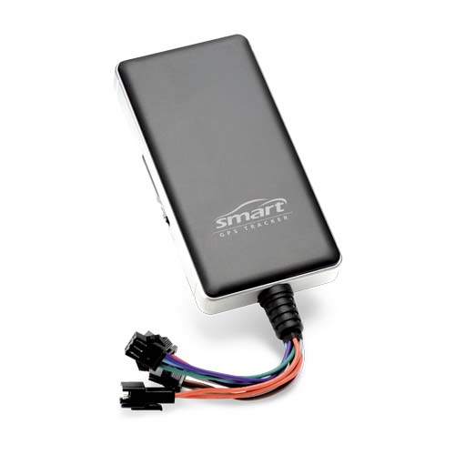
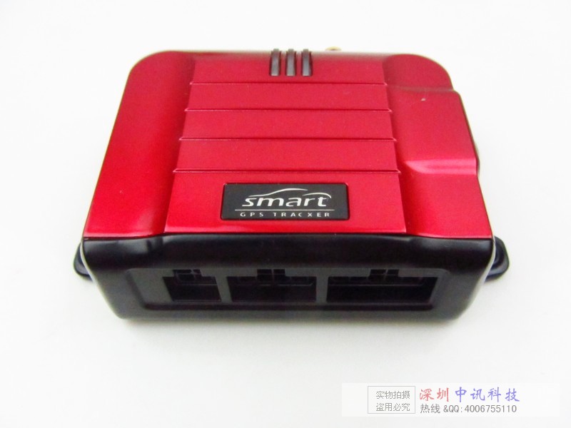
The "Beidou " civilian market must be accelerated
At present, space distribution of several ten star navigation and positioning satellite: the United States 24, Russia 17, China 16, the 2. Among them, the United States of America 's global positioning system ( GPS ) is currently the only able to provide global navigation, positioning and timing services satellite navigation system; global navigation system ( GLONASS ) is the global service direction; and the EU's Galileo ( GALILEO ) global satellite navigation system is affected by many factors and financial problems, so far slow progress.
Satellite positioning using radio frequency, so is the construction of satellite navigation system and operation assurance. The world with the major powers in the fierce competition, leading to the extremely important strategic spatial resources become scarce. After many international frequency consultations, Beidou system working frequency in 2006 March to obtain historic breakthrough. The " Beidou " officially entered the ITU Frequency Registration tables, marking the " Beidou " have a and GPS, GLONASS, GALILEO equal frequency protection status.
" If ' dipper ' in combination with GPS than GPS, in conjunction with the GLONASS effect is better, each user overhead available satellite, will by the past 4 - 6 to the present 8 - 12. " China Satellite Navigation Conference Science Committee, vice chairman of Beidou navigation satellite system engineering deputy general designer Tan Shusen said, " Beidou " join, users receive a higher precision and more reliable service.
" Our country must accelerate ' dipper ' civil market, accelerate ' dipper ' industry. " Academician of the Chinese Academy of Sciences, Beidou satellite navigation system of project total stylist Sun Jiadong says, development of satellite navigation and positioning system is costly, if only for the military, do not pay attention to the civilian market development, this is the satellite 's great waste of resources, will also affect the Beidou system development and technology advancement. If our country like the United States, Russia, and other satellite global coverage to the development of civil market, also does not favor the space transformation and the cultivation of talents. Russia in this respect had a profound lesson, the global GLONASS system put into use in 1996, due to the slow development of the market economy civil, difficult to repair network, can provide reliable service.
The "Beidou " positioning accuracy is comparable with GPS
To a specific user location service, GPS using 4 satellites in orbit, and the experimental system using only 2, regional system uses 4, does this mean that the " Beidou " is the development direction of GPS close?
GPS uses passive location method, and the experimental system using active positioning method, the regional system using active, passive two positioning way, thus the "Beidou " having active and passive two positioning way, this is the "Beidou " advantage.
The first is the use of GPS nuclear submarine and one of 4 satellites in orbit to the mutual position relations, through equations calculate the submarine position, this is a passive way, namely nuclear submarines to satellite positioning information satellites, only to nuclear submarines send a message. However, this approach also has the deficiency, i.e. without using ground surveying and mapping results, to satellite data are more.
Go up century 80 time, because our country economy actual strength is weaker, not as many as Russia to launch a satellite. Therefore, our military surveying and mapping experts launched the " positioning " theory, the geodetic and space satellite positioning combination. This is a kind of active positioning method (i.e., users need to send location for satellite signal ), although only two satellites in orbit, but the positioning accuracy can meet the demand. Now, China's Beidou regional system increased the passive location method, users can easily in the two orientation mode conversion.
Sun Jiadong said, "the Big Dipper satellite launch into a different orbit, it is in order to cover the Asia-Pacific region " Beidou " satellite density of not less than GPS, and in the future to achieve global coverage will have more than 30 satellites in orbit, the" Beidou " positioning accuracy than GPS low.
In practical application, GPS is a chartered civil users with " fine code " services, the single point positioning accuracy of 5 - 10 meters; for a licensed general civilian users, provide a " coarse code " services, the single point positioning accuracy of 20 - 40 meters. Previously, due to the United States of America is only provided to China " coarse code " service, can not meet the precision measurement, such as civilian demand. So, for our country to build a satellite navigation augmentation system, forcing the United States open China region GPS fine code service, so that the positioning accuracy of GPS reached 10 meters. At present, the "Beidou " positioning precision is from 25 meters to two 10 meters of big dipper.
Active positioning and messaging function is the "Beidou " unique advantages
The "Beidou " has one positioning way -- active positioning method, often be criticized; and its unique short message communication function, often also called useless "chicken ", is the fact such?
" In fact, this is the ' dipper ' advantage, but also reflects the ' dipper ' superior system top design and future expansion capabilities. " Tan Shusen said, GPS passive positioning way only to solve "where am I ", and "Beidou " active positioning method and solve the "where am I " and " where are you ", can say " by a user machine can travel the world ".
At the beginning of this year, China's a geological exploration team, in carrying the GPS user machine into no-man work missing; in the South China Sea Fishing thousands of fishing boats, as is equipped with navigation system, not a ship because of a storm at sea and trek, this is positioning differences result.
" In the city high-rise buildings or in high mountain gorge provide location service, ' dipper ' is better than GPS some. Because of the narrow space in the head, the former is easier to find two satellites in orbit, while the latter is very difficult in the head at the same time to find the 4 satellite. " Tan Shusen says.
China satellite navigation positioning application management center director Yang Baofeng introduced: the regional system is completed and opened, marking the Chinese satellite navigation industry span type develops, also marks the " Beidou " application will enter large-scale, socialization stage. Compared with the GPS system, the "Beidou " has its own characteristics and advantages, services and GPS basic quite, in function, the Beidou system position report, instruction transmission function is not GPS. So we can say, domestic application, GPS can do, " Beidou " can do, but also " Beidou " has a special advantage, must be better than GPS, wider application.
Today, the United States research and development of the third generation GPS and the European Union, India and other countries are developing new construction system, in considering the addition of active positioning method. " Others ' dipper ', is not surprising; the future Chinese don ' dipper ', it is a strange thing. " South of Surveying and mapping group technology management center technical director Li Yaozhong said with emotion, although the " Beidou " at the ground station equipment, user equipment, satellite technology, and the United States of America still has difference, but in the top design and system structure of the advantages, to a great extent, make up for our country on the basis of industrial areas.